Started By
Message
Saturday Severe Weather watch thread
Posted on 5/27/17 at 12:24 pm
Posted on 5/27/17 at 12:24 pm
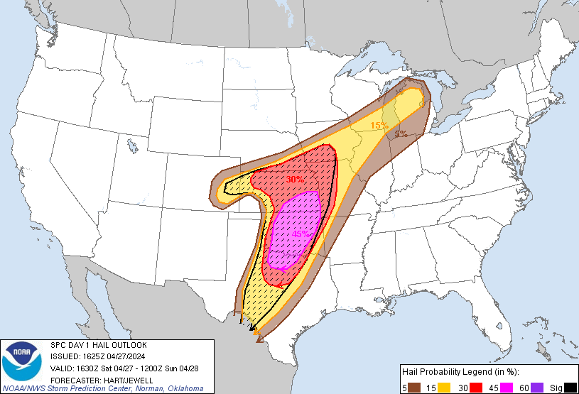
It appears likely that clusters of intense thunderstorms will form
by mid afternoon over parts of southeast KS/western MO/far northeast
OK, in vicinity of remnant boundaries and where extreme instability
is present. A potent combination of MLCAPE values over 5000 J/kg
and effective helicity of 200-300 m2/s2 suggests that initial storms
will likely become supercellular with a risk of giant hail and
tornadoes (perhaps strong). An evolution toward bow/lewp structures
is indicated by all model solutions, with one or more fast-moving
bow echoes likely to track from southern MO into western KY this
evening. This potential derecho would result in widespread and
potentially significant wind damage.
Initiation of thunderstorms farther southwest into OK is less
certain due to a strong cap and subtle forcing, but those storms
that form will also likely become supercellular with a risk of very
large hail and a few tornadoes. These storms may spread into parts
of AR after dark.
TL;DR version: It's coming. Watch the skies and take cover before it's too late. Stay safe!
 4
4

Posted on 5/27/17 at 1:49 pm to NorthEndZone
Its getting dark here in eastern Missouri tornado warnings and large hail west of here in missouri
This post was edited on 5/27/17 at 1:52 pm
Posted on 5/28/17 at 7:27 am to NorthEndZone
It got funky here on LOZ for a bit. First time I've ever seen our tornado shelter at my condo fill up with people. Usually people just ride out the storms in their units, but yesterday's forecast had everyone on edge. When the sirens went off it was a stampede down there. All good until the shelter flooded and we had to evacuate it. Hope everyone else made it through okay too.
Posted on 5/28/17 at 11:40 am to NorthEndZone
I think everyone is ok but memphis/North MS (from the Arkansas line to the Bama line) took it in the teeth. Lots of trees down and 140,000+ without power in Memphis alone

Posted on 5/28/17 at 11:44 am to Wishnitwas1998
quote:
Lots of trees down and 140,000+ without power in Memphis alone
Crime just went up 100%

Posted on 5/28/17 at 4:08 pm to JCinBAMA
Midtown Memphis is a mess ... Trees down and street closures everywhere... No one has power and hearing it will be several days before we get it back.
Posted on 5/28/17 at 8:49 pm to NorthEndZone
Unfortunately this is new normal. 

Posted on 5/29/17 at 12:10 am to reggierayreb
quote:
Midtown Memphis is a mess ... Trees down and street closures everywhere... No one has power and hearing it will be several days before we get it back.
I'm learning I'm way too weak for this shite. They are saying now it could be a week before we have power. If I last a couple days I'll count my blessings
Posted on 5/29/17 at 12:11 am to Wishnitwas1998
quote:that number finished near 190k
and 140,000+ without power in Memphis alone

 Page 1 of 1


Popular
Back to top